Pulling this page together.
Preparing content, navigation, and supporting references for this route.
Preparing content, navigation, and supporting references for this route.
A framework for reading cities as transfer surfaces where gateways, districts, depots, servicing radius, and hinterland demand converge into one operational field.
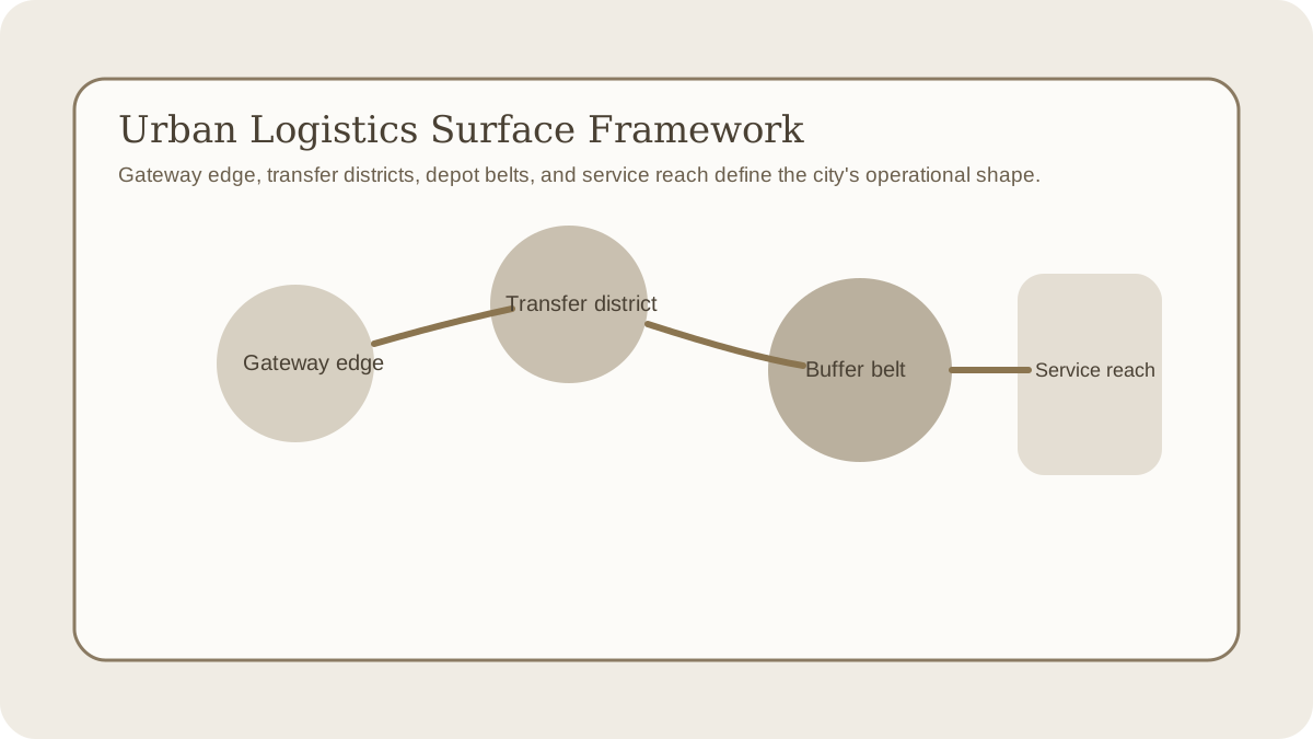
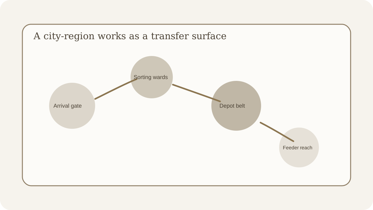
Regional mobility explains how routes connect. Urban logistics explains what happens when those routes arrive inside a city and have to change mode, be buffered, inspected, redistributed, or pushed back outward into a surrounding hinterland. The city is not only a large node. It is a transfer surface.
The urban logistics surface framework is useful when a setting can explain why one city is important but still cannot show how harbor districts, depots, market belts, gate corridors, and service towns perform different operational work. The question is no longer only which route dominates. It is where movement thickens into district specialization and servicing burden.
| Axis | Question | Signal |
|---|---|---|
| Gateway edge | Where does the city convert between movement layers or jurisdictions? | Harbor mouth, rail break, bridge gate, customs quay, pass entrance, river lift point |
| District transfer surface | Which internal districts sort, inspect, market, warehouse, or reroute incoming flow? | Dock wards, grain courts, caravan inns, canal basins, market halls, bonded yards |
| Buffer and service belt | Where does the city hold reserve, maintenance, and replacement capacity for the wider region? | Depot rings, arsenal yards, repair streets, cold storage, ration granaries, craft quarters |
| Hinterland reach | How far can the city actually serve, tax, or stabilize surrounding production before the surface thins out? | Service radius, feeder towns, escort range, tax road limits, day-market envelope, relief reach |
A region graph can tell you that one node dominates. It cannot automatically explain how that dominance is built internally. Cities become structurally distinct when throughput, inspection, storage, and redistribution stop happening at one abstract point and instead spread across several linked urban surfaces.
This is what makes gateway cities and capitals operationally different from ordinary market towns. The issue is not only size. It is how many transfers and burdens they can absorb before congestion, policing cost, or district mismatch start degrading the wider network.
When a city matters strategically, trace the surfaces that incoming flow has to cross before it becomes usable regional leverage.
Identify where road, river, sea, rail, ritual, or administrative movement first compresses into the city.
The framework becomes formal once it stops treating the city as a single dot with a population number. Regional leverage depends on what happens after movement reaches the urban edge. Cargo has to be unloaded, sorted, taxed, stored, repaired, converted, and sent outward again. People have to be screened, housed, contracted, or redirected. A city that performs those transfers efficiently can dominate a much wider hinterland than one that merely sits on a good route.
This is why district specialization matters structurally. Dock wards, market courts, bonded yards, repair streets, depot belts, and gate corridors are not decorative urban flavor. They are the machinery that determines whether the city can actually absorb regional throughput without turning every shock into congestion or scarcity.
Use the framework when a draft has important cities that still operate like abstract icons, when port and gate districts are named but not differentiated structurally, or when a city seems to serve an implausibly wide hinterland without visible depot, repair, and redistribution surfaces.
The quickest stress question is: if one gateway edge closes, which district fails first and which surrounding zone loses service first? A good answer should name an internal transfer surface and a hinterland dependency, not only a revenue loss or a political complaint.
The most common simplification is to assume that size alone produces importance. Large cities can still be shallow if they lack buffer space, repair capacity, or clean transfer corridors. Another simplification is to imagine hinterlands extending indefinitely just because the city is politically prestigious. In practice, service reach is bounded by escort distance, road condition, market rhythm, and the ability of the urban surface to keep feeder zones synchronized.
Use this when the problem is differentiating cities by role before you zoom further into their internal logistics surfaces.
Gateway CityUse the term when several route layers converge through one decisive transfer city.
River Port PolityOpen this when a port-centered city-system needs an applied example of storage, transfer, and corridor leverage concentrated in one urban field.
The reusable lesson is that cities feel structurally real when they are read as logistics surfaces rather than as large points on a regional graph. Once gateway edge, district transfer, buffer belt, and service reach are explicit, urban hierarchy becomes much easier to connect back to corridors, capitals, and regional pressure.