Pulling this page together.
Preparing content, navigation, and supporting references for this route.
Preparing content, navigation, and supporting references for this route.
A layered model for understanding how roads, rivers, passes, and market towns align into durable spatial corridors.
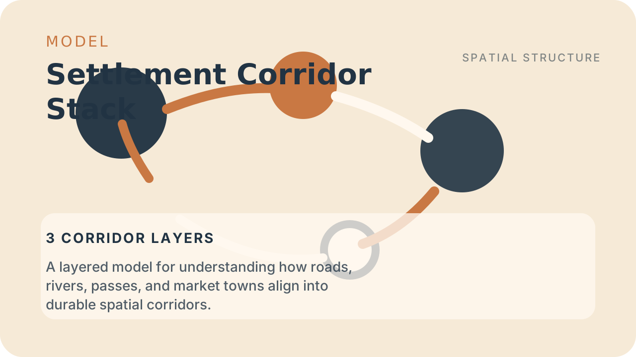
Settlements accumulate where multiple forms of movement overlap. Corridors are less about a single road and more about repeated alignment across terrain, water, and trade behavior.
The model separates physical passage, logistical reinforcement, and institutional concentration so a designer can see why one route hardens into a durable axis.
| Axis | Question | Signal |
|---|---|---|
| Passage layer | What terrain and hydrology make repeated movement possible here? | River alignment, pass mouths, open valleys, ford chains |
| Buffer layer | What keeps movement continuous instead of episodic? | Relay towns, depots, ferries, inns, market staging points |
| Institution layer | What makes the corridor politically durable? | Taxation, patrols, tolls, legal routes, fortification, maintenance |
Terrain and water access make one path consistently cheaper than nearby alternatives.
Markets, inns, depots, and relay towns reduce delay and make long-distance movement routine.
Taxation, patrols, and legal recognition make the corridor durable even when other paths still exist.
Once a corridor hardens, later settlement tends to inherit it even when better theoretical routes exist nearby. Inns, depots, legal rights, tax habits, and social familiarity all accumulate around the original line. The stack therefore explains not only why a corridor formed, but why it keeps attracting reinforcement after the first practical reason might have weakened.
That persistence is what makes the model structurally useful. It turns one path into spatial memory. A world with durable corridors will therefore often display settlements, tolls, and strategic concern that outlast the exact conditions that first created them.
Do not confuse an isolated road with a corridor stack. If the route lacks buffer nodes and institutional reinforcement, it may matter locally without becoming the region's main spine. The model is strongest when all three layers support one another repeatedly rather than appearing only in one dramatic season.
The reusable lesson is that corridors become durable because geography, logistics, and institutions reinforce the same route repeatedly. Use the stack whenever a world needs to explain why one movement line keeps attracting towns, storage, and strategic attention while others remain secondary.
This is also a useful correction against decorative map design. If a route lacks reinforcing buffer nodes or institutional investment, it may still exist, but it should not behave like the main spine of the region. The stack therefore helps separate scenic paths from corridors that actually deserve urban weight, toll systems, and repeated political attention.